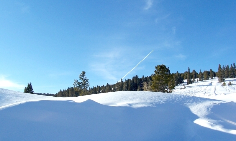
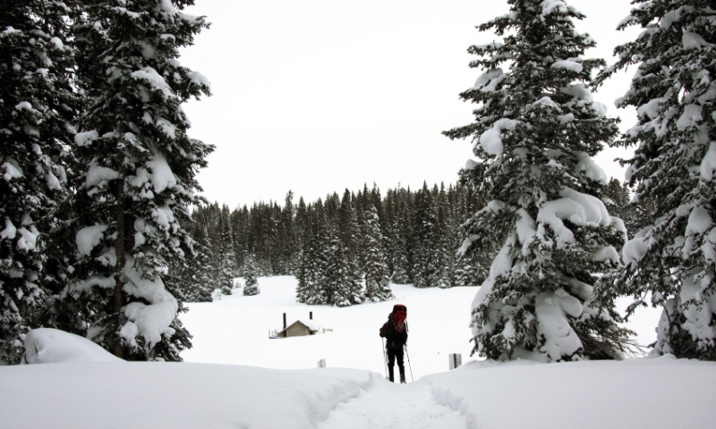
- The Vail Pass is a high mountain pass situated in the Rocky Mountains in Vail, Central Colorado.
- The trail is maintained for multipurpose recreation and is an access point for hiking and winter activities.
- It is a great way to get around the area and see some amazing views of the Rockies.
Overview
Vail Pass offers panoramic breathtaking views of the Gore Range and other spectacular views of the Rockies. At an elevation of 10,666 feet, it is an amazing way to see the beauty of Colorado.
Location
The Vail Pass lies between Vail and Copper Mountain along I-70.
Seasons
The road is open all year round but is subject to closures during extreme weather. The Main Vail Exit can sometimes be closed when snowfall is excessive so check weather forecasts before setting off on any journey.
Activities
- Scenic Lookout: Pull off at the top of Vail Pass for a scenic view in both directions.
- Drive or Mountain Bike Shrine Pass Road: This dirt road starts at the top of Vail Pass and ends at the town of Redcliff. It's a beautiful scenic drive or mellow mountain bike ride (if you start at the top of the pass).
- Black Lakes Picnic Area: On the Vail side of Vail Pass, pull off at Black Lakes to have a picnic, enjoy a nature trail, or go fishing.
- Vail Pass Winter Recreation Area: From November to May, a designated recreation area is available for snowmobiles, nordic, and backcountry skiers. Users must purchase a day pass at trailheads.
- Vail Pass / Tenmile Canyon National Recreation Trail: A paved trail that is popular with bikers starts at Gore Creek Campground and follows the old Highway 6 over Vail Pass to Copper Mountain.


